Description
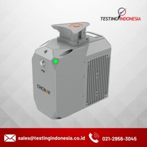
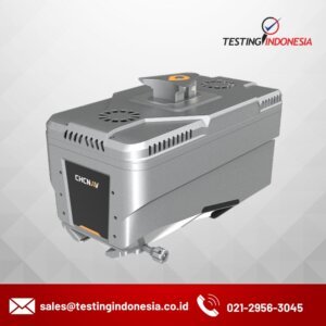
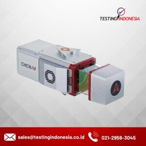
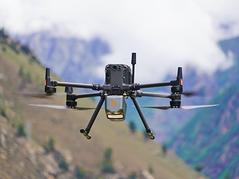
AlphaAir 10 adalah sistem LiDAR+RGB udara profesional yang dirancang untuk memenuhi persyaratan tinggi dalam pemetaan LiDAR UAV dan fotogrametri drone. Solusi canggih ini mengintegrasikan teknologi LiDAR superior dengan pemosisian GNSS yang akurat, orientasi IMU, dan kamera ortofoto full frame profesional. Bersama dengan perangkat lunak pemodelan fusi point cloud dan gambar dari CHCNAV, AA10 menghadirkan akurasi tingkat survei, efisiensi, dan efektivitas biaya dalam akuisisi dan pemrosesan data 3D