Description
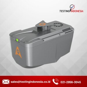
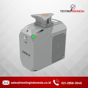
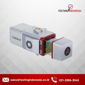
AlphaAir 15 (AA15) adalah sistem LiDAR udara ringan dan berperforma tinggi yang dirancang untuk operasi skala besar di mana perolehan data kepadatan tinggi sangat penting. Dengan jangkauan hingga 1800 meter dan kemampuan menghasilkan 2 juta pulsa per detik, AA15 sangat ideal untuk aplikasi pemetaan dan geospasial, termasuk pemetaan koridor, perencanaan kota, dan analisis vegetasi. Desainnya yang ringkas memungkinkan integrasi mudah dengan UAV, pesawat kecil, dan helikopter